
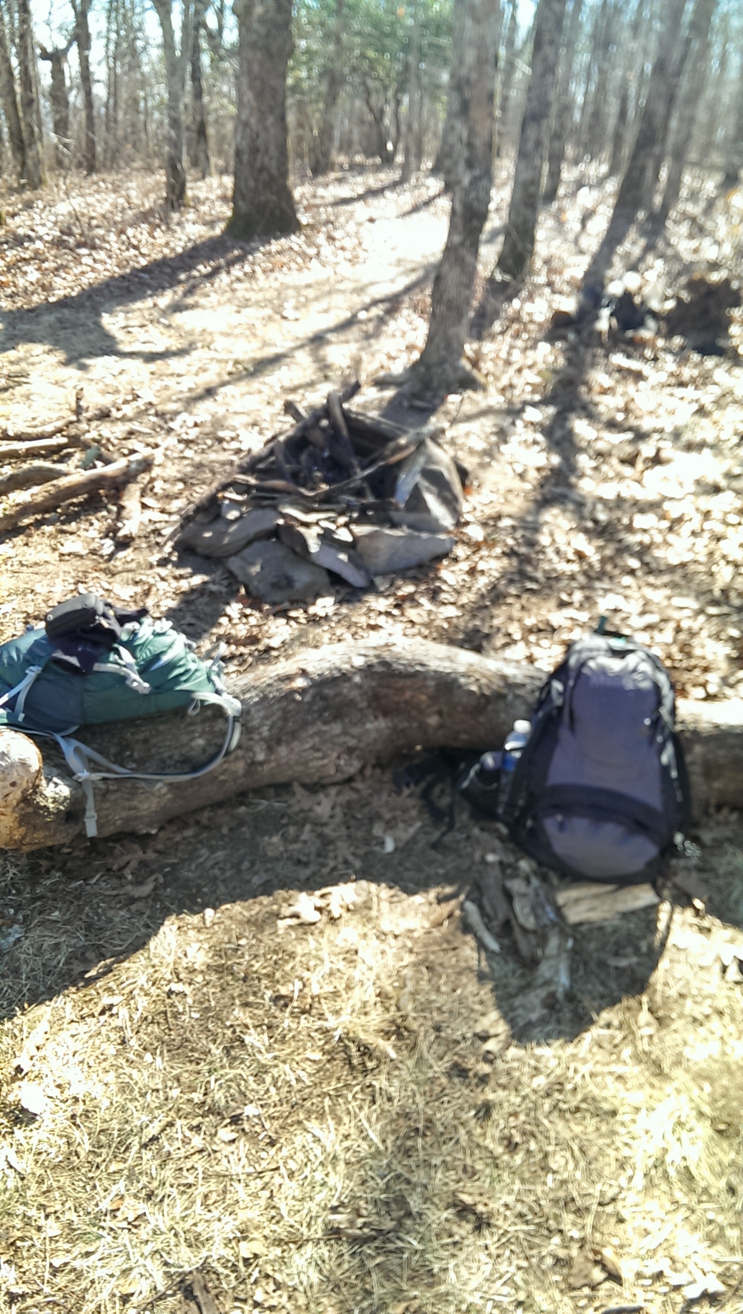
A 2015 goal will be to hike the Benton MacKaye Trail. At just under 300 miles, the adventure will hopefully entail no more than two weeks away from wife and work. The key will be coordinating it such that the memory will have, at the very least, my son as a trail companion. Should time and opportunity be more kind the AT/BMT loop will be tackled, which would allow for 500+ miles of trail time.
There is a great deal of information about the BMT (noted below is the link to the association which manages the trail), but I would like to share this link as a place to start. Tim Homan’s book comes highly recommended, and has found a place on my to-do list. The problem…it’s out of print. On Amazon’s site you can find used versions for around $30.
If most of what I have read is true, it is a less traveled AT. This link will take you directly to a map of the hike.
All information following is shared with full credit to the Benton MacKaye Trail Association (BMTA). (Source)
The Benton MacKaye Trail (BMT) is a footpath of nearly 300 miles (480 km) through the Appalachian mountains of the southeastern United States. It is designed for foot travel in the tradition of the Appalachian Trail (AT).
Running from Springer Mountain in Georgia to Big Creek Campground on the northern edge of the Great Smoky Mountains National Park (the Smokies), the BMT passes through some of the most remote backcountry in Georgia, Tennessee and North Carolina, including eight federally designated Wilderness and Wilderness Study Areas. For further information on the trail, visit the BMT Vital Info page.
There are numerous access points and trailheads along the BMT route creating many options for one-way and loop hikes, and several more in combination with local trails. Longer hikes are possible on the BMT by doing a partial or full thru-hike. And the longest walks are done by also using the three major intersecting trails, the Pinhoti, the AT, and the 900-plus mile Mountains-to-Sea Trail.
Because the BMT intersects the AT at each terminus and in the middle, three large hikable loops are formed in a figure 8: a lower circle of 364 miles, an upper Smokies-only walk of 158 miles, and ‘The BMT Loop’ – a complete circuit hike of over 500 miles. The Georgia Loop, “toughest hike in Georgia”, is a 55-mile triangle of the BMT, the AT and the Duncan Ridge Trail. In the Eastern Continental Trail; the 4400-plus mile route from Key West, Florida to Cape Gaspe, Quebec, Canada; the BMT connects the Pinhoti and Appalachian Trails. For more hiker information, check the Hiker Resources page.

